Hagerman National Wildlife Refuge Hiking Trails
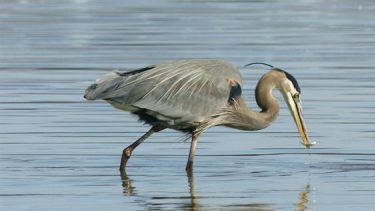
Hagerman National Wildlife Refuge features five inviting and well maintained hiking trails. Hiking trails wind through forest, around ponds, across meadows and through native prairie. Excellent trails for birding, nature photography or just observing nature.
Haller’s Haven Trail
2.7 Miles, Partial Loop, Easy
This trail offers a great view of the refuge at the top of an easy hill. Along the way you’ll pass Picnic Pond, Dead Woman’s Pond which is often teaming with wildlife.
Raasch Trail
3 Miles, Down and Back, Easy
Walk through a range of several different habitats and search for Eastern bludbirds and other songbirds.
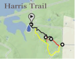
Harris Creek Trail
.25 ADA Trail, plus 1.5 and 2.25 Mile Loops, Easy
This is the most popular trail, with several ponds and a photo blind
Crow Hill Trail
5.7 Miles, Down and Back, Mostly Gravel, Easy
Begins with beautiful Deaver Pond and ends with Meadow Pond – two miles in- this is one of the refuge’s favorite trails. Come in July when the American Lotus flowers are in bloom on the water.
Please click on the links below for visitor information and refuge maps, or visit the information kiosks or brochure boxes at the refuge.
Links to refuge information:
Map of the Refuge
Map of Hiking Trails
Texoma Lake Level
General Refuge Rules
Map of Suggested Fishing Spots For Each Species
More information is available by calling (903) 786-2826, or emailing kathy_whaley@fws.gov


